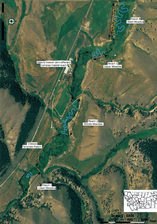
North Fork Musselshell River Channel Re-meandering: 2005-2007
project background
The River Why Ranch was purchased by a conservation investment fund in 2005 following a detailed restoration assessment performed by GAI that indicated excellent opportunities to significantly expand and improve trout habitat on the property.
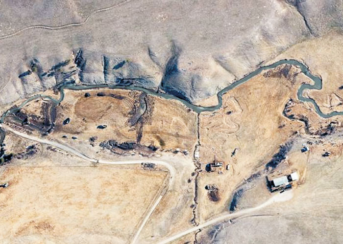
The N.F Musselshell on the property had been historically channelized over approximately 2/3 of its length and the existing fishery habitat largely confined to one reach which was never channelized and now is beaver-mediated.
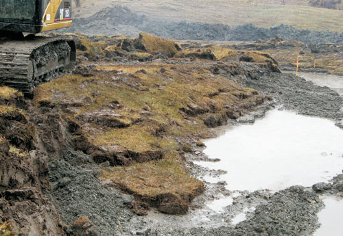
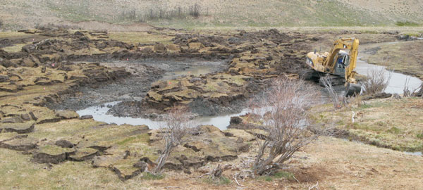
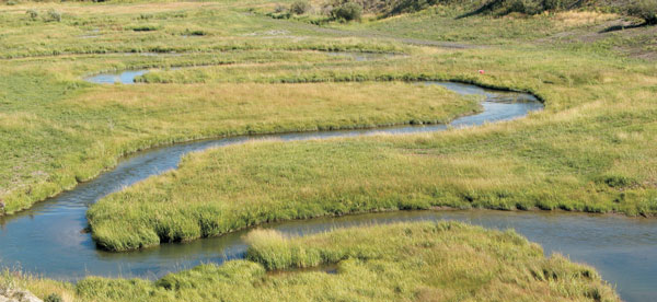
In total, 3,100 feet of channel was constructed as newly meandering channel exclusively utilizing onsite sourced materials comprised largely of donor sod mats harvested from the new channel alignment and gravel from a nearby hillside.
construction methods
Our design called for all new channel banklines be constructed with salvaged sod using the “sod stack” method that included outside banklines constructed with up to 6 sod lifts. No toe armor or other bank armor was utilized.
Due to heavy saturation during construction, all channel access and hauling was via the excavated prism.
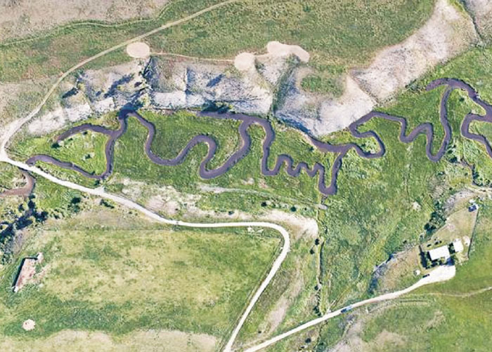
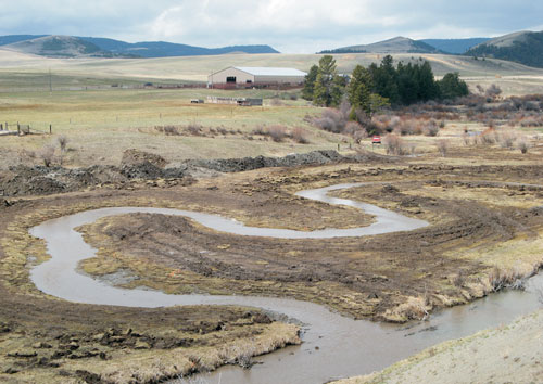
detail of reach 2 planform existing
 Existing channel conditions were considered poor with very little bedform variability and overly steep. Construction has just commenced in upper left. Photo courtesy of Chris Boyer